Summer is coming to an abrupt ending up here in Washington. It's bad news for our backpacking, but good news for snowboarding. Since this past week is the only stretch of more than two days I have off before we leave for Jackson Hole (don't even get me started on my upcoming work schedule...overtime anyone?), we decided to make one last trip for the summer. We had originally planned for Gothic Basin, but looking at the weather forecast, we would have definitely been snowed in at those elevations. David found Goat Lake on the WTA website, which sits at about 3,000 feet. We would be safe from snow, but probably not rain.
Goat Lake is located in the Henry M. Jackson Wilderness off of the Mountain Loop Highway up north. I've never driven on this highway before. It was quite an adventure. I personally enjoyed the adorable little po-dunk towns along the way, Granite Falls, Silverton, etc. The road winds and winds through the forest, turns into dirt, and then turns right up to the Goat Lake Trailhead. This trail was especially interesting due to the fact that it used to be access to a mining town. The Penn Mining Co. opened up at Goat Lake in 1895 and a seven mile wagon road was built. We could even see traces of that road. There was a hotel built on the shores of Elliot Creek by the McIntosh family that was open from 1927-1935. The beautiful waterfalls that flow from Goat Lake were named after them. Read more about the history here.
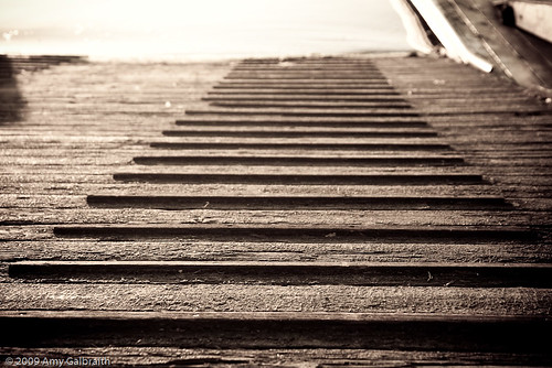
Old Wagon Road.
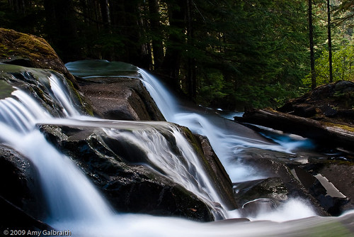
McIntosh Falls.
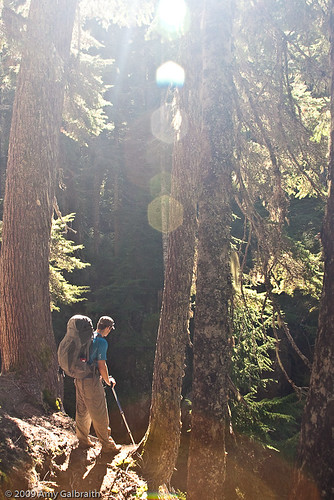
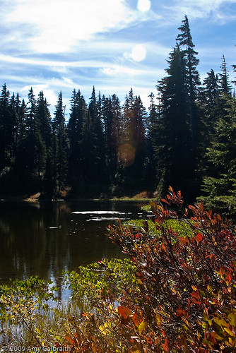
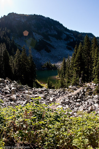
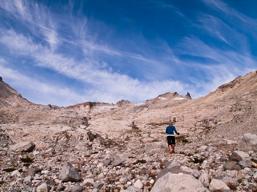
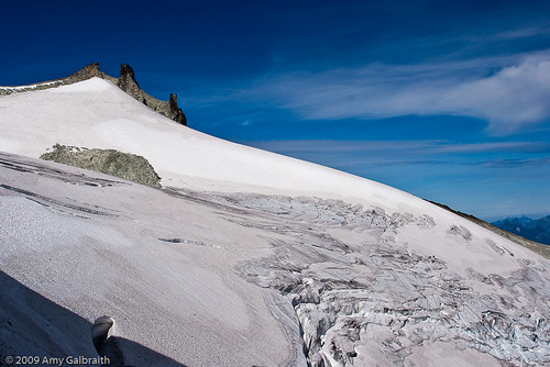
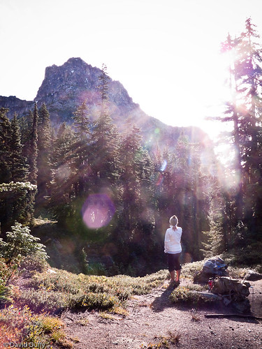
The trail to the lake was easy. There was very little grade, and it wove through beautiful little patches of alder trees. The weather stayed nice the whole way there. We chose a private little place to camp on the side of the lake. It started to get cold. We went down to the water's edge to make some dinner - Mountain House Beef Stroganoff and Natural High Cinnamon Apple Crisp for dessert...yum! We oohed and aahed at the mighty Cadet Peak and it's partial glaciers that still remained. The clouds began to roll in so we retreated to the tent. Moments later, the rains came.
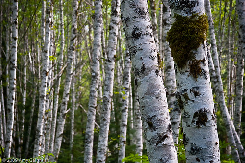
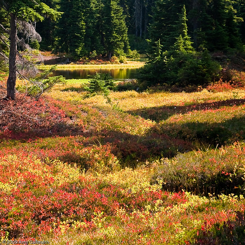
Alder Groves.
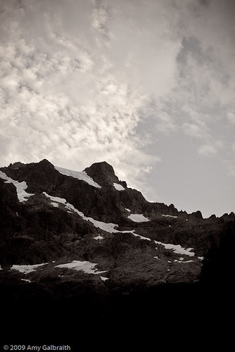
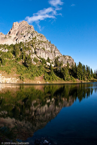
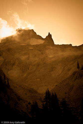
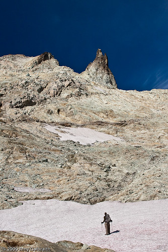
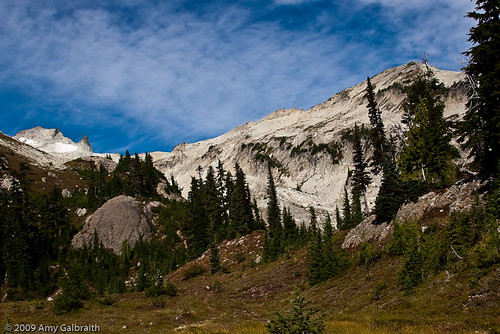
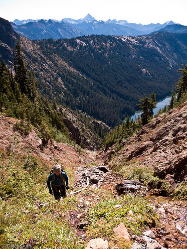
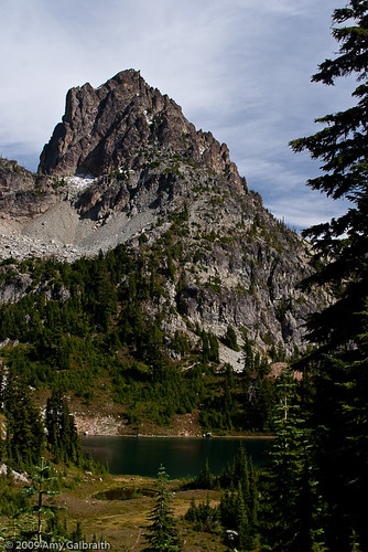
Cadet Peak.
I can't say that I was completely opposed to being rained on while inside the tent. Lately I've heard a lot of stories about bear encounters. Nothing scary, the bears are usually scared of you (black bears, not grizzlies), but I still had that little shadow of worry hanging over me all night. The rain tends to drown out the sound of what's outside, so it's comforting to not to hear those little twig snapping sounds that are usually chipmunks but sound like Big Foot.
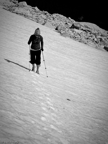
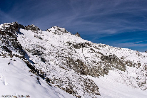
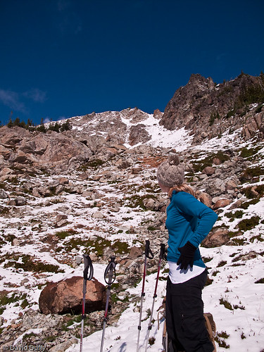
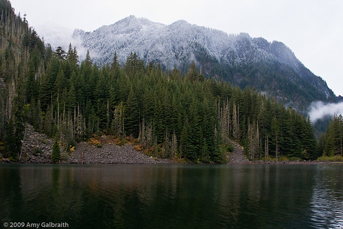
We woke up the next morning to snowy peaks all around us. It was quite beautiful but seemed odd for September. We ate some breakfast in the shelter of our tent and decided to head home. It really wasn't worth staying another night in the rain and there weren't many trails to explore around the lake. We put on snow pants to take advantage of their waterproof material, and wrapped our backpacks in trash bags for the rainy hike out.
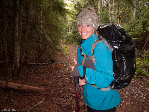
David's rain coat and a trash bag...sexy.
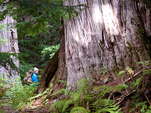
Me next to a massive tree.
On the way home, we decided to make a stop in Granite Falls for some pizza. We had at first thought the tavern looked interesting, but when we walked inside, the bartender and three barflies looked a little rough so we opted for Omega Pizza & Pasta next door. An adorable little high school girl was our server. She seemed way too cute for a place like Granite Falls. We ordered some Caesar salad and a pepperoni pizza, the perfect post hike meal. The drive home was crazy. It was a torrential downpour for most of the way, but we somehow made it home in two hours flat.
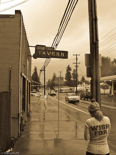
The sketchy tavern in Granite Falls.

Downpour!
I don't have as many pictures this time due to the rain factor, but there are still a few nice ones. On the other hand, David had his awesome little G10 along and he also wrote about our trips on his blog. We could probably make millions with his words and our pictures combined. Check his blog out here.
Be sure to check out my website at Powder Photo.
In a Jackson Hole update, my friend Anne from college who lives out there called me today and needs a place with her boyfriend for November 1st, just like us. We are going to try and rent a three bedroom house for the four of us! That would be such a great situation. Hope it works out...only one month till Jackson!!!!!!!!